
9th Global Summit on
Recycling and Waste Management
Berlin, Germany September 21-22, 2022
Venue & Hospitality

About City
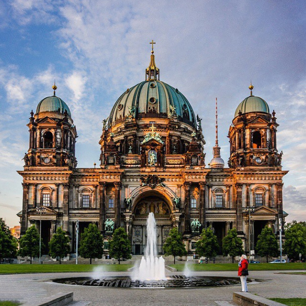
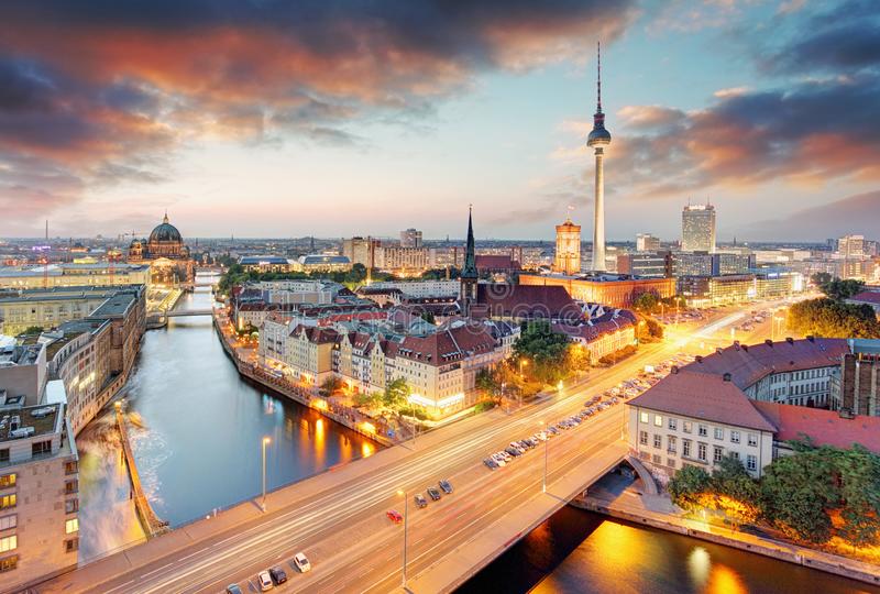
The city state of Berlin is located in the Northern European Lowlands (North German Plain) along the Spree River in eastern Germany, which runs through the center of the city. The mean elevation of Berlin is 115 feet (35 meters) above sea level. The highest point near the center of Berlin is the peak of the Kreuzberg, a hill that rises 218 feet (66 meters) above sea level. It lies within the state of Brandenburg. Germany's capital city (again since 1990), has an area of 892 km² (344 sq. mi) and it is, with a population of 3.4 million inhabitants, Germany's largest city.
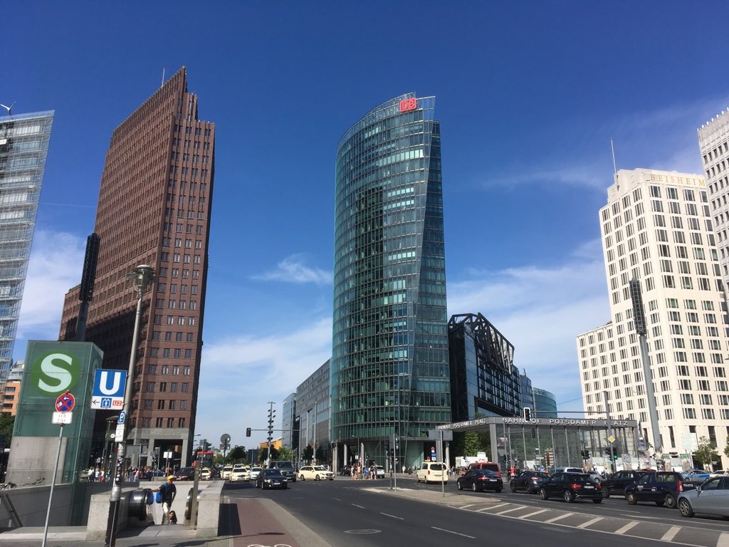
Berlin’s former glory ended in 1945, but the city survived the destruction of World War II. It was rebuilt and came to show amazing economic and cultural growth. West Berlin’s isolation was later reinforced by the concrete barrier erected in 1961 and known as the Berlin Wall. By World War II the city had one of the finest rapid transit systems in Europe. After the erection of the wall, the bus became the mainstay of transportation, although streetcar service continued in some eastern districts. After unification, through train service increased rapidly, reconnecting Berlin with all major German and European cities. Air traffic has played an important role since 1945, particularly in West Berlin in 1948, at the time of the Soviet blockade of the western sectors. Berlin lies where the influence of the Atlantic Ocean fades and the climate of the continental plain begins. The city’s mean annual temperature is about 48 °F (9 °C), and means temperatures range from 30 °F (−1 °C) in winter to 65 °F (18 °C) in summer. The average precipitation is 22 inches (568 mm). About one-fifth to one-fourth of the total falls as snow.
Berlin’s former glory ended in 1945, but the city survived the destruction of World War II. It was rebuilt and came to show amazing economic and cultural growth. West Berlin’s isolation was later reinforced by the concrete barrier erected in 1961 and known as the Berlin Wall. By World War II the city had one of the finest rapid transit systems in Europe. After the erection of the wall, the bus became the mainstay of transportation, although streetcar service continued in some eastern districts. After unification, through train service increased rapidly, reconnecting Berlin with all major German and European cities. Air traffic has played an important role since 1945, particularly in West Berlin in 1948, at the time of the Soviet blockade of the western sectors. Berlin lies where the influence of the Atlantic Ocean fades and the climate of the continental plain begins. The city’s mean annual temperature is about 48 °F (9 °C), and means temperatures range from 30 °F (−1 °C) in winter to 65 °F (18 °C) in summer. The average precipitation is 22 inches (568 mm). About one-fifth to one-fourth of the total falls as snow.
Venue
Berlin, Germany